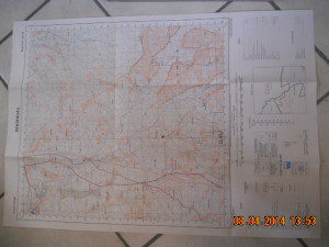
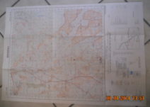
This map in very good condition is in a scale of 1 to 50 000 or 2 cm equals a Kilometre. It has been folded so there are fold creases, there are also two small holes. It shows the border between the two Districts Que Que and Gwelo respectivly. Being for the millitary its gridded and shows things like power lines, roads, rivers and contours of the land. It has some interesting place names like Saint Patricks Mission, numourous mines around the greater Redcliff area. like Connemare, Zarbola etc. And the names of the different Tribal Trust lands and the schools. It measures 84 by 48 cm, so it will be easy to post.
Buy our products at our next auction